How to Label Aerial and Drone Images for Power Line Inspection
Categorized visuals are the dream of autonomous detection tools. By dividing the content into three classes, real-world patterns, simple patterns, and dual patterns, the teams create AI that adapts to different infrastructure patterns. A 70/30 split between training and validation content ensures that the models generalize without overtraining.
Combining field imagery with computer-generated scenarios, photogrammetry, and LiDAR data closes the gaps. Weather fluctuations, equipment angles, and lighting issues become manageable, improving defects detection and monitoring vegetation encroachment. This approach reduces false positives.
Quick Take
- Accurate labeling helps AI models identify infrastructure components.
- Combining real and synthetic visuals enhances adaptability to different environments.
- Classification by pattern type improves detection accuracy.
- Balanced training and validation distribution prevent overtraining.
- Consistent annotation standards support quality at scale.

Understanding the Basics of Aerial Image Labeling
Aerial image labeling is a key step in creating datasets for computer vision systems. It involves identifying and labeling objects in images captured by drones, satellites, or aircraft. This allows artificial intelligence algorithms to learn to recognize roads, buildings, forests, bodies of water, vehicles, and small infrastructure details. The main goal of labeling is to transform raw images into structured information that can be used for analytics, monitoring, and forecasting. The process uses polygonal segmentation to outline shapes, pixel classification to separate surfaces by type, and 3D annotation to work with high-altitude objects. The accuracy and detail of labeling affect the accuracy of AI models used in areas such as urban planning, agriculture, environmental monitoring, or security technologies.
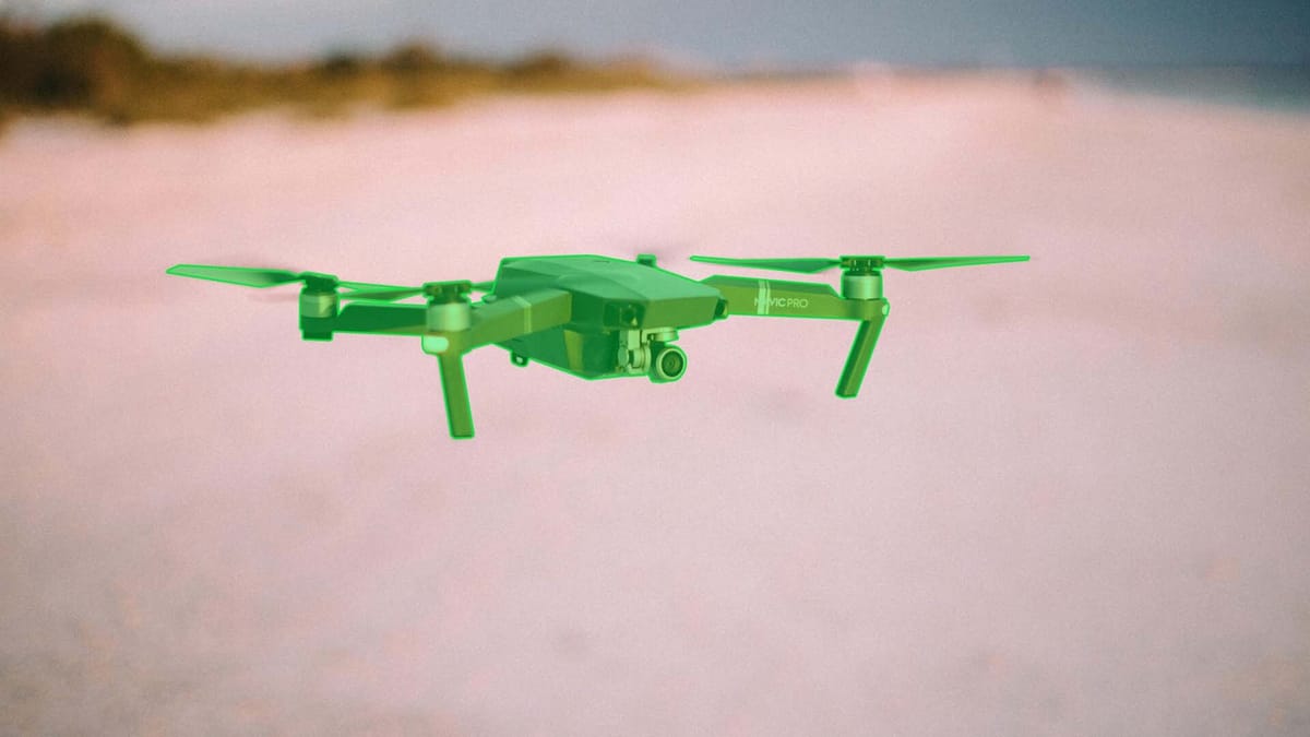
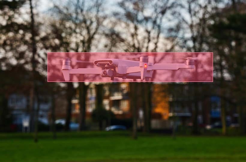
The Role of UAVs in Power Line Inspection
Uncrewed aerial vehicles allow faster, safer, and less costly inspections than traditional methods. Using drones with high-quality cameras, LiDAR, and photogrammetry techniques, energy companies can obtain detailed images and 3D models of their infrastructure without shutting down power lines or involving personnel in dangerous work at heights. This helps with defects detection and identifying vegetation encroachment along cables and poles. Drones also regularly monitor large areas, which helps predict faults and plan preventive maintenance. This approach increases the reliability of the power supply, minimizes emergency downtime, and reduces operating costs.
Creating a Power Line Inspection Dataset
Authentic imagery from UAVs or ground-based cameras provides realism, reflects equipment condition, and includes lighting, weather, and environment variations. However, they are often limited in quantity, shooting conditions, or representation of rare scenarios. In such cases, synthetically generated content created using 3D modeling, generative neural networks, or augmented reality can reproduce critical, rare events and cover various situations. Combining both sources provides complete training for computer vision models: algorithms can recognize typical defects and unlikely scenarios. The result is a dataset that improves the accuracy of automated diagnostic systems, reduces the need for large-scale manual labeling, and accelerates the implementation of intelligent solutions for energy infrastructure.
Accurate classification methods
Accurate classification methods ensure that machine learning algorithms correctly recognize objects, events, or states in data. In the context of visual analytics, several approaches are used:
- Convolutional Neural Networks. Used for image analysis due to their ability to automatically highlight spatial features, contours, textures, and shapes. In the case of power lines, CNNs allow you to detect insulators, cables, and supports, and distinguish between types of damage. The main advantage is high accuracy on large and diverse data sets.
- Support Vector Machines. Used for tasks with clear boundaries between classes. SVM works on smaller datasets and provides stable results even with a limited number of examples.
- Ensemble methods (Random Forest, Gradient Boosting) combine several models for decision-making, reducing the risk of misclassification. In power line inspection, ensembles help integrate different features, increasing the reliability of the forecast.
Volume optimization
- Volume optimization. Instead of accumulating thousands of similar images, selective data collection focuses on various scenarios.
- Active Learning. The model suggests which samples are the most "uncertain" to annotate them further.
- Data Augmentation artificially expands the dataset by rotating, changing contrast, adding noise, or generating rare defects. This reduces the need for a large number of real images.
Verification
- Multi-level annotation verification. Several annotators label each image with expert verification.
- Automated validation tools. Algorithms check for missing or incorrectly labeled objects.
- Consistency control. Using annotation standards to avoid different readings within the same category.
This approach reduces the amount of redundant data, increases the accuracy of training AI models, and reduces the cost of manual processing.
Using computer vision to analyze power lines
The use of deep neural networks and convolutional approaches is a tool for automating the analysis of power lines. Due to the ability to process large amounts of visual data, these models recognize infrastructure elements such as poles, cables, insulators, and defects, including cracks, corrosion, wire damage, or vegetation. Convolutional neural networks automatically highlight important spatial features and minimize the need for manual rule creation. Combining CNN with deep architectures provides high classification accuracy and the ability to work in complex conditions. Segmentation networks allow you to outline objects and localize defects within specific areas. This opens up opportunities for creating integrated monitoring systems that record the presence of damage, determine its scale, and prioritize its elimination. As a result, using deep neural networks reduces inspection costs, increases decision-making speed, and ensures greater reliability of the energy infrastructure.
Integrate advanced annotation tools and workflow strategies
Traditional approaches, with manual labeling, are slow and expensive. Modern platforms like Keylabs with semi-automatic and automatic annotation capabilities speed up this process. Such tools apply pre-recognition algorithms highlighting cables, poles, or insulators, and annotators refining and verifying the results. Advanced capabilities, polygonal segmentation, 3D labeling, and multispectral image support allow for accurate infrastructure and defects representation. A critical component is integrating quality control systems: multi-level validation, consistent category taxonomies, and verification tools that prevent human errors. This creates standardized datasets that can be scaled to train artificial intelligence models.
Ensuring quality standards
The workflow integrates automatic error detection with human supervision. Systems flag inconsistent classifications or incomplete boundaries before validation. Track inter-annotator agreement rates and completeness scores to maintain high levels of operator consistency.
Three strategies optimize large-scale projects:
- Distributed task allocation based on annotator expertise.
- Real-time progress dashboards with accuracy benchmarks.
- API integration for direct access to model training.
Advanced visualization layers help teams compare original images with annotations. Heat maps show patterns in labeling density, and statistical breakdowns ensure a balanced distribution of classes. This approach reduces rework.
FAQ
Why are UAVs important for power line inspection workflows?
UAVs provide fast and safe access to hard-to-reach areas of power lines without the need to shut down the grid or involve workers at height.
How do synthetic data sources improve power line detection models?
Synthetic data sources capture rare or hazardous scenarios rarely seen in real-world imagery. This enriches the dataset and helps power line detection models learn to recognize a broader range of defects.
What are the differences in marking methods for different types of circuits?
Marking methods differ depending on the type of circuit, with aerial imagery and polygonal segmentation typically used for overhead lines to delineate poles and wires. In contrast, cable or underground circuits use classification and thermal imaging to detect overheating or damage.
How do deep neural networks improve fault detection in power line images?
Deep neural networks automatically extract complex features from images to accurately identify defects in poles, cables, and insulators in challenging lighting or interference conditions.
What are the metrics that determine the optimal dataset size for AI training?
Metrics such as diversity and representativeness of examples and the ratio between classes to avoid imbalance are determined. In addition, the task's complexity and the model's architecture are taken into account.